Our Products
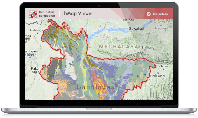
bMap Viewer: Bangladesh
A mapping tool consisting set of spatial layers of Bangladesh. Includes all standard mapping tools for drawing, navigation, measuring and feature information. User can query and print maps into pdf format of selected scale and paper size.
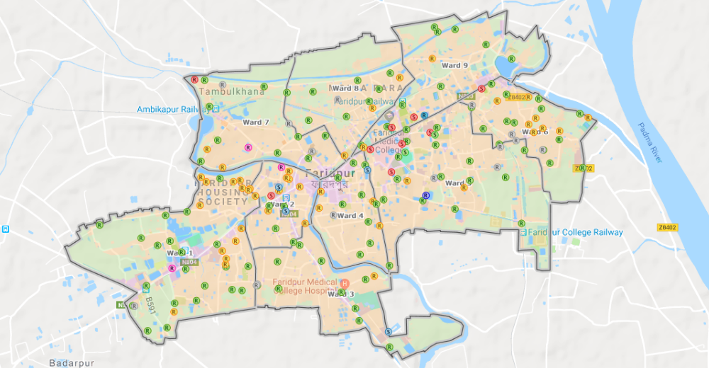
bMap Viewer: Cities & Towns
Similar to bMap Viewer Bangladesh but is focused on of cities (metropolitan city corporations) and towns (Paurashava) specific data. Detail geographic and attribute information of cities and towns are presented in this application.
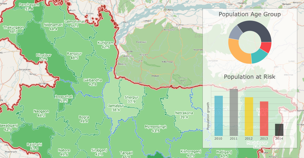
bMap Viewer: Story Maps
Telling stories through maps. Interactive mapping tool to present descriptive information about specific geographic feature of Bangladesh. The application provides in depth information of the subject with background and histories.
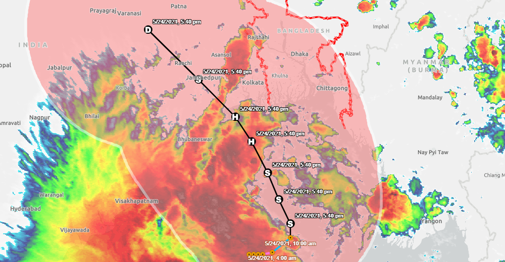
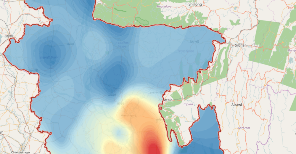
bMap Viewer: Live Events
Provides live status of an event such as Cyclone in the Bay of Bengal. Interactive mapping tool to present facts about specific event that is impacting Bangladesh. The application sources free-to-use live geographic layers of the event.